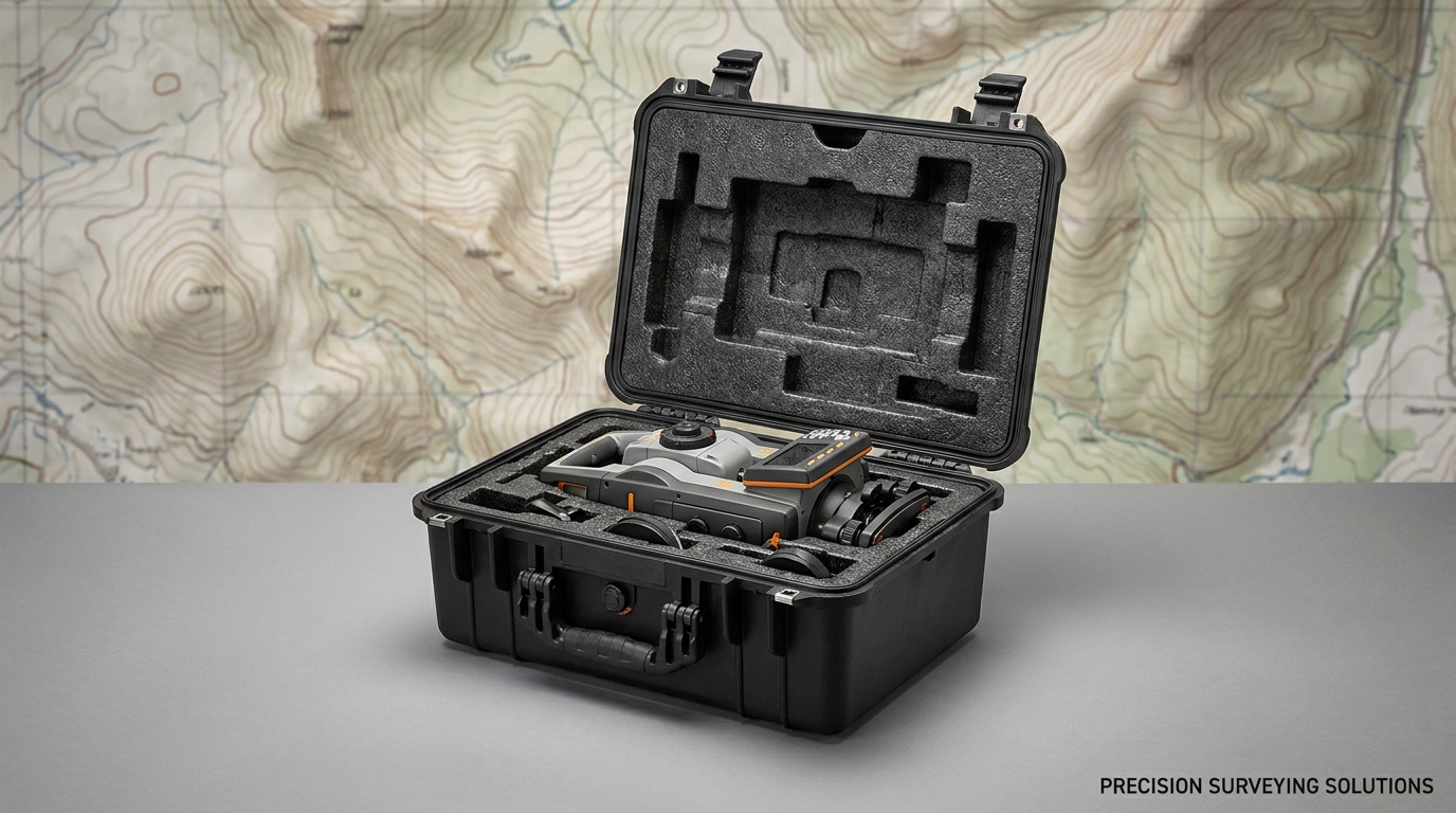
Industry Overview: Surveying & Mapping
The global surveying and mapping industry includes land surveyors, construction surveyors, mining surveyors, hydrographic surveyors, GIS professionals, and remote sensing specialists. Equipment value is high ($5,000-200,000+ per instrument), and accuracy is critical. Equipment must survive frequent transport between sites, often in harsh outdoor conditions.
Common Equipment
- GNSS/GPS receivers - Trimble, Leica, Topcon, Sokkia, Stonex, CHC ($5,000-50,000)
- Total stations - Robotic, mechanical, prism-less ($10,000-100,000)
- 3D laser scanners - Terrestrial, mobile, SLAM-based ($30,000-200,000)
- UAV/drones - DJI Matrice, senseFly, Wingtra for aerial mapping
- Levels - Digital, automatic, laser levels
- Data collectors - Rugged tablets, field controllers
- Ground-penetrating radar - GPR for utility and archaeological survey
- Hydrographic equipment - Multibeam sonar, single beam, ADCP
Standards & Compliance
- IP67/IP68 - Water and dust protection for outdoor survey work
- Mil-Std-810 Method 514 - Vibration (vehicle transport, helicopter, ATV)
- Mil-Std-810 Method 501/502 - Temperature extremes (-20 to +50°C)
- Mil-Std-810 Method 506 - Rain resistance
- ISO 9001 - Quality management for surveying service providers
- ATA 300 - Airline transport for long-distance travel
Application Scenarios
Land & Construction Surveying: Daily transport to/from sites. Often in pickup trucks, ATVs, on foot. Equipment includes GNSS rovers, total stations, data collectors. Cases must be lightweight and easy to carry. Pelican 1510 or 1535 Air popular.
Mining Surveying: Underground and surface mining. Equipment must survive dust, vibration, rough handling. Cases for GNSS, total stations, scanners. Often transported via heavy machinery and underground rail. Hard cases with reinforced corners and high IP rating required.
Hydrographic Surveying: Marine and freshwater. Cases for multibeam sonar, GNSS, IMU, sound velocity probes. IP68 for splash and brief immersion. Salt-fog tested for marine work. Cases transported on small boats, ships, and ROVs.
Aerial Surveying (UAV): Drone-based mapping (photogrammetry, LiDAR). Cases for DJI Matrice 350, senseFly eBee, WingtraOne. Foam must accommodate drone, batteries, controller, base station. Multiple batteries for flight time. Cases transported via vehicles, often checked as luggage.
Archaeological Survey: GPR, magnetometry, total stations. Sensitive electronics in often remote locations. Cases must be portable and rugged. Pelican 1510, 1525 common.
Rail & Infrastructure Surveying: Track geometry, overhead line, tunnel clearance. Mobile laser scanners (Leica Pegasus, Trimble MX). Cases must be large and heavy-duty. Pelican 1660 or 1680 for mobile scanner transport.
Forestry Surveying: Remote forest inventory, biomass mapping. Often helicopter or ATV access. Cases for GNSS, tablets, cameras. Lightweight, waterproof, dust-tight. Pelican 1510 or Nanuk 935.
Case Selection Guide
| Surveyor Type | Recommended Case | Capacity |
|---|
| Land/Construction | Pelican 1510 / 1535 Air | GNSS rover + data collector + accessories |
| Mining | Pelican 1620 / 1650 | Total station + accessories |
| Hydrographic | Pelican 1620 / 1660 with custom foam | Multibeam sonar + IMU + cables |
| UAV/Aerial | Pelican 1535 / 1620 with custom foam | Drone + 4-8 batteries + accessories |
| Archaeological | Pelican 1510 / 1525 | GPR + tablet + accessories |
| Mobile scanning | Pelican 1660 / 1680 | Mobile scanner + mounts + cables |
| Forestry | Pelican 1510 / Nanuk 935 | GNSS + tablet + camera + accessories |
Why Choose KeXinMaterials for Surveying Cases
- Custom foam for major brands - Trimble, Leica, Topcon, Sokkia, Stonex, CHC, DJI, senseFly templates
- IP67/IP68 standard - All cases waterproof to 1m minimum
- Mil-Std-810 vibration tested - For vehicle and helicopter transport
- Lightweight Air series - 30-40% lighter than standard cases for field carrying
- 40-50% lower cost vs. US brands
- 5-10 day custom foam - Faster than most US suppliers
Case Study: National Mapping Agency
A national mapping agency needed 200+ custom cases for nationwide LiDAR and photogrammetry survey. Equipment: DJI Matrice 350, WingtraOne, Trimble R12i GNSS, various sensors. KeXinMaterials supplied Pelican Air-equivalent cases with custom foam for each configuration, IP67 + Mil-Std-810 tested. Lead time: 45 days. Result: 100% delivery on time, $80K cost savings vs. competitor, 12+ months of field use with zero damage.
Frequently Asked Questions
Q: What's the best case for a Trimble R12i GNSS rover?
A: Pelican 1510 or 1535 Air with custom foam for Trimble R12i receiver, controller (TSC5 or T7), pole, batteries, accessories. Total loaded weight: 8-12kg. Foam lead time: 5-7 days.
Q: Can your cases survive helicopter transport?
A: Yes. Our cases are Mil-Std-810 Method 514 Annex C (helicopter vibration profile) tested. Foam is shock-mounted to absorb vibration. Cases used by forestry, mining, and remote-area surveyors worldwide.
Q: Do you have templates for hydrographic equipment?
A: Yes. We have templates for major multibeam sonar systems (Reson, Kongsberg, R2Sonic), GNSS, IMU, and sound velocity probes. Custom foam for your specific configuration: 5-10 days.
Q: Can I get a foam insert for a specific brand?
A: Yes. We have templates for Trimble (R10, R12i, R12, R8s), Leica (GS18, GS14, GS16, RTC360, BLK2GO), Topcon (Hiper VR, GR-5), Sokkia (GRX), Stonex (S9III), CHC (i90, P5E), and DJI (Mavic 3, Matrice 350, Phantom 4 RTK).
Q: What's the lead time for surveying cases?
A: Standard IP67 cases: 20-25 days. Custom foam: 5-7 days. Total: 25-30 days. OEM/ODM with custom color/logo: 35-45 days.
中文版内容正在翻译中,请参阅英文版或联系我们获取中文支持。